Left 'The Isa' (as the locals call it) on the morning of the 6th. We didn't know how far we would get with all the flooding happening over the eastern side of Queensland. Made it through to Winton for the first night, left early next morning and drove all day to Tambo where the Motel/Van Park filled up fast with many travellers driving hundreds of kms out of their way to avoid the road closures. This was also the only route open to trucks heading north with supplies for the areas north of Rockhampton. The RACQ road conditions site showed we could get through to Chinchilla. It wasn't a relaxed drive for Noel with a continuous stream of oncoming road trains and trying to dodge the worst of the pot holes. We elected to stay at the very pleasant Cypress Pines Tourist Park until the road through to Kingaroy was re-opened. The CP wasn't flooded in the floods of the 27th Dec but 93 homes and businesses were. The clean-up was continuing amidst the pungent smell of the december floods but now the town is flooded again following the torrential downpour of 10th January. The rain began in earnest about 4 PM and by 8 PM we had received at least 200 mm. We were listening to the truckies and the SES on the CB Radio and we heard that all the roads into Chinchilla had been closed. This flood peak is expected to equal if not surpass the December peak of 7 metres. There are many road transports that are also caught here in town. They are waiting for the all clear to get to Brisbane. We are still listening in on the truckies CB Radio so we will know when the roads are open again.

The Carrangarra Hotel in the Main Street of Tambo.
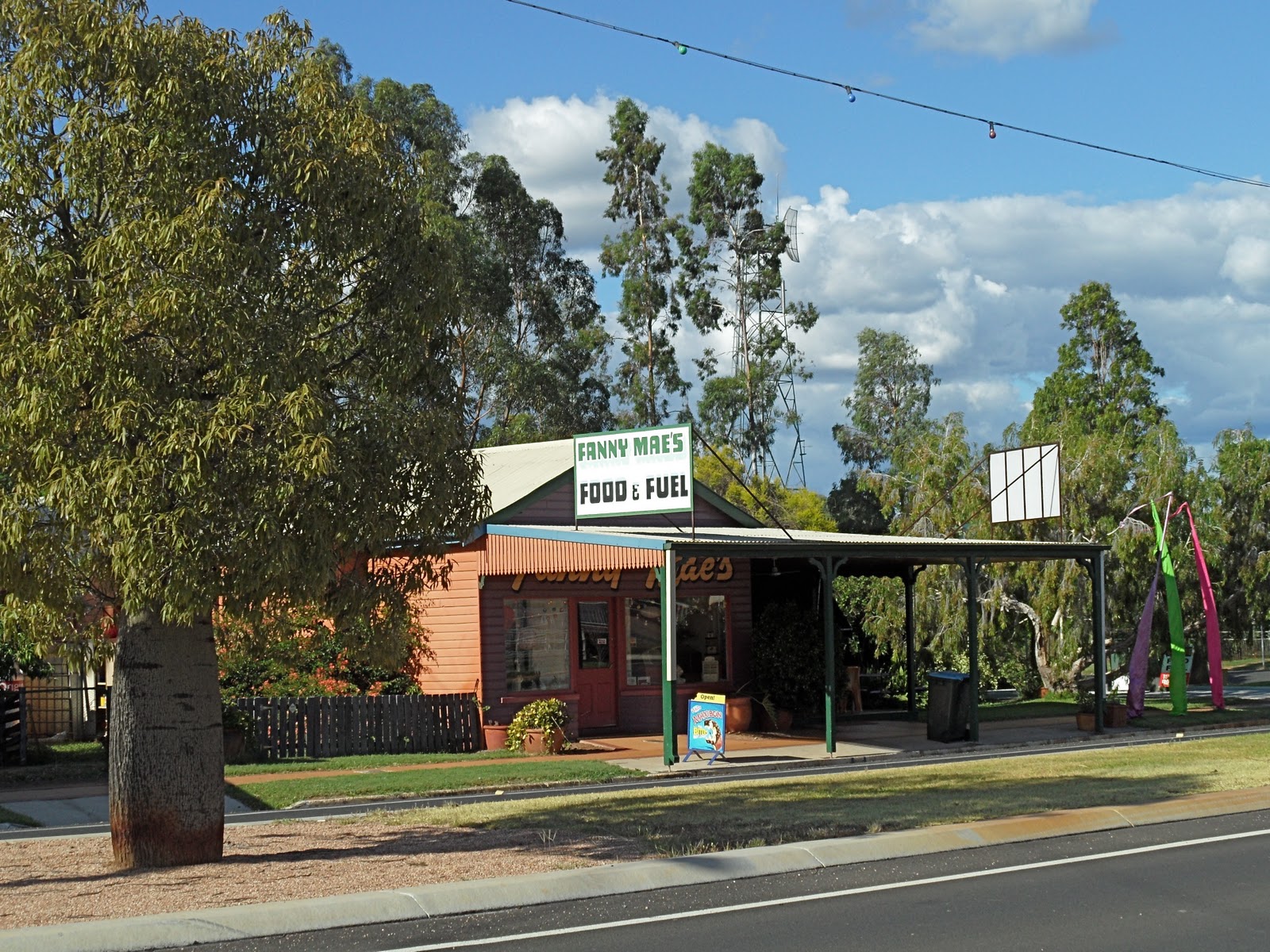
Fanny Mae's Food and Fuel, as with most of the town this is also in the main street.

Very old and very large Bottle trees are a feature of Tambo. This one is in front of the Tambo Municipal Offices.

The Tambo Post Office.

Chinchilla is a very pleasant little town with a tree lined Main Street. The December floods reached this round-a-bout.

Looking down towards Charley's Creek, this whole area was under water on December 27th.

This sector of the main street retail area was not flooded in December.

Charley's Creek must take a large bend around the centre of town, this is the flood water to the right of town.

This is the bottom end of the main street, compare that with the earlier photo from the round-a-bout with no water. When I took this photo in the morning the locals were saying that the peak would be 1.5 metres higher.

Water creeping in between the Post Office and the telephone exchange.

These businesses had not yet re-opened following the December floods.

One of the homes in the low lying area to the left of the main town.

As the sign says, Charley's Creek Riverside Park, but now the park is under the river.

No comments:
Post a Comment